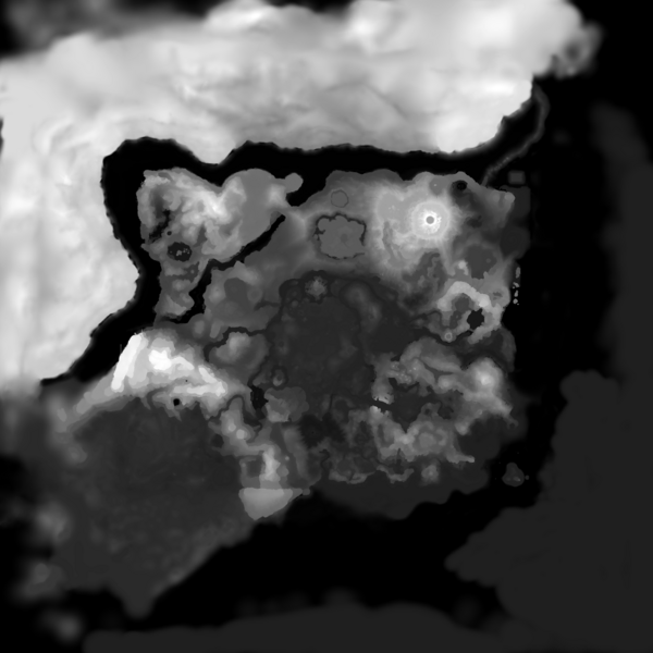
File:5200000000.hght.png

Size of this preview: 600 × 600 pixels. Other resolution: 1,024 × 1,024 pixels.
Original file (1,024 × 1,024 pixels, file size: 436 KB, MIME type: image/png)
Summary
Grey scale representation of height map data for the third lowest level of detail (5200000000) for the Hyrule Main Field. White is the highest point and black is the lowest.
File history
Click on a date/time to view the file as it appeared at that time.
| Date/Time | Thumbnail | Dimensions | User | Comment | |
|---|---|---|---|---|---|
| current | 17:35, 30 January 2023 |  | 1,024 × 1,024 (436 KB) | Echocolat (talk | contribs) | Grey scale representation of height map data for the third lowest level of detail (5200000000) for the Hyrule Main Field. White is the highest point and black is the lowest. |
You cannot overwrite this file.
File usage
The following page uses this file: